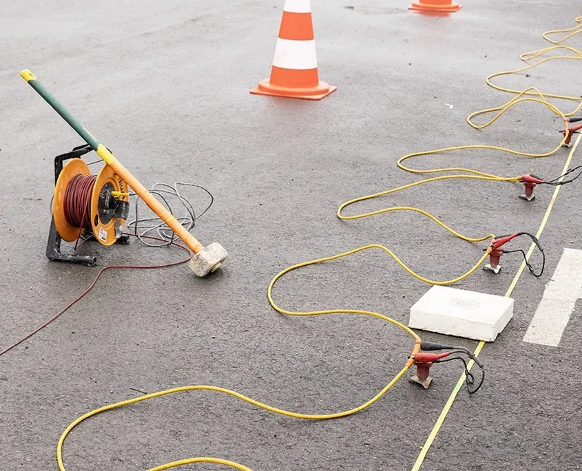
The Upper Chalk that underlies much of Swindon has a reputation. It weathers unpredictably, with solution pipes and soft putty zones that can hollow out beneath a perfectly flat site. Our seismic tomography programme starts from that reality, mapping the transition from grade VI weathered chalk down to intact rock before a single foundation is designed. In Old Town the chalk sits shallow under thin head deposits, but out toward the M4 corridor the sequence thickens with Clay-with-Flints capping the high ground. Running both refraction and reflection lines gives us two independent velocity models we can cross-check, which matters when you are trying to spot a metre-wide dissolution feature at 8 metres depth. We calibrate the tomographic inversion against borehole data wherever possible, so the final P-wave sections tie back to CPT test refusal depths or rotary core recovery logs.
A 1,500 m/s contour on the tomography section often marks the boundary between rippable weathered chalk and rock that needs a breaker in Swindon.